Nel mezzo del cammin: Textile maps of urban forests and green spaces
A continuing labour of love is my series of textile walking maps, which use hand piecing and digital and hand embroidery to explore the political ecologies and personal experience of urban woods, to date four such sites in Montreal and one in Toronto. I am profoundly drawn to these wildish spaces, as both solace and research site. Over the past two decades, I have turned to these sites as places to let my energetic dogs run safely off-leash.
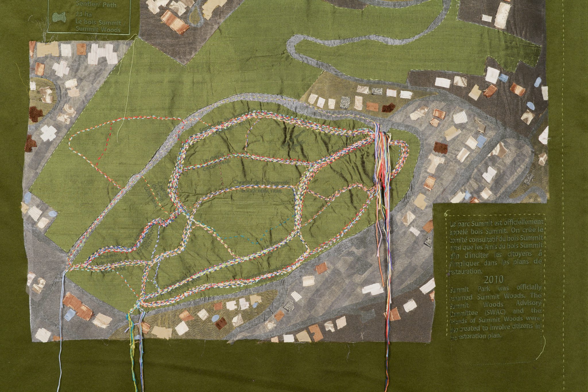
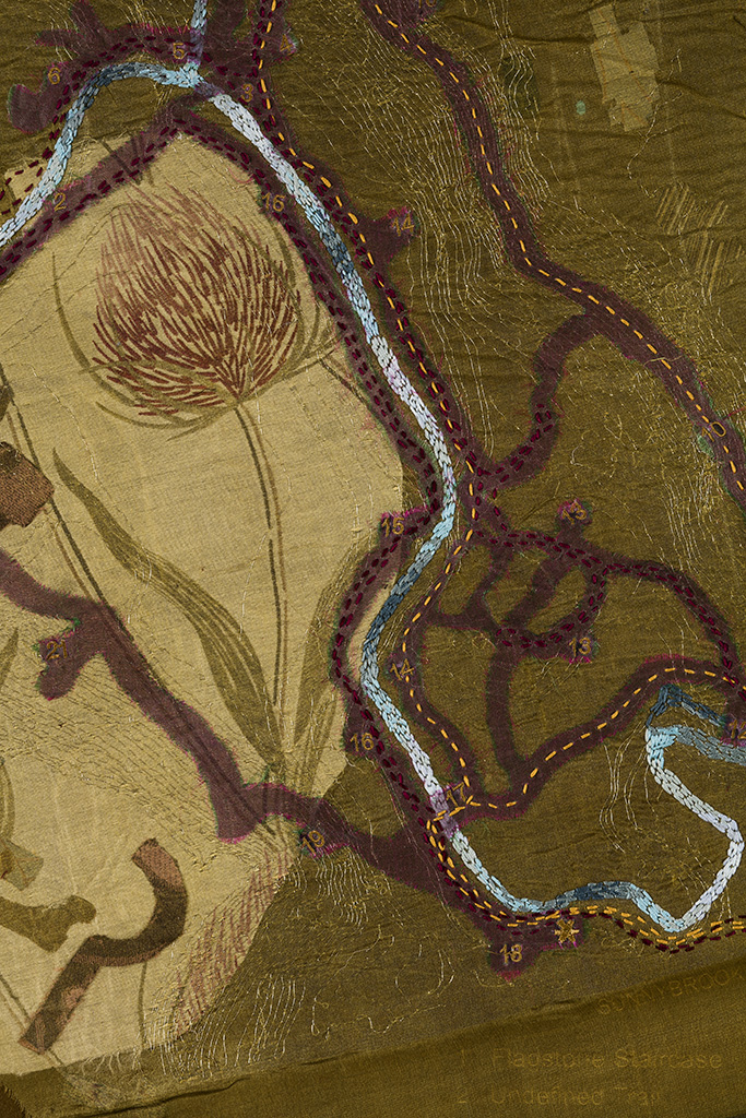
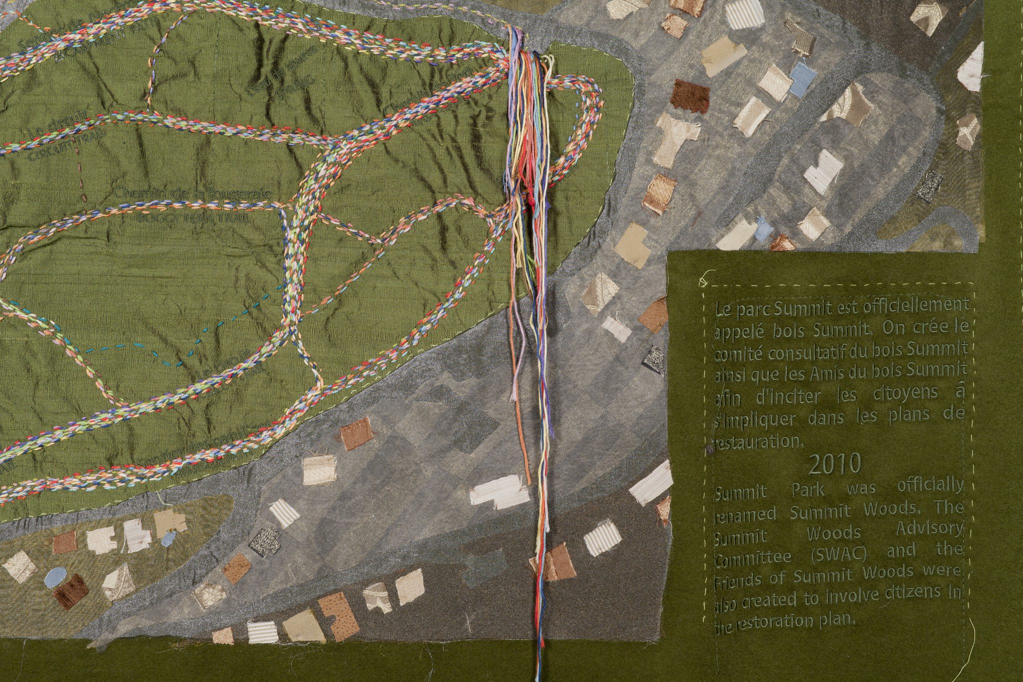
Like much of my work, Nel mezzo del cammin takes the form of mapping and explores walking as a knowledge practice and artist’s method. Remembering that maps represent particular versions of place – replete with questions of ownership and access – at very specific moments of history, I work into the gap between the authoritative bird’s eye view and lived experience of a place over time: my maps use digital embroidery processes to version ‘official’ portions of a map – surveyed contours, texts, and labels in both French and English – and hand-stitching to record multiple trajectories of walks taken over time.
This series takes its title from the opening lines of Dante’s Inferno in its original Italian, and so also addresses questions of naming and translation, with a nod toward language politics. The Inferno begins with a walk in a dark wood and takes up questions of humanity and ethical relations, which have their resonance in the environmental concerns embedded in my works. Referencing and de-familiarizing the comfortable ‘hominess’ of textiles and the long work of stitching and piecing, my maps suggest that the process of emplacing oneself is incremental and on-going, step by step, stitch by stitch. I began this series upon relocating to her native Montreal after 20 years of life in Toronto, as a work of em-placement.
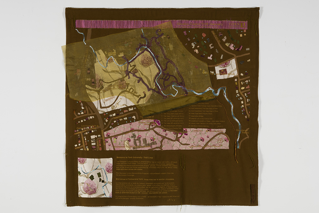
Each of the forests is able to carve space out of the city, to date resisting development pressures, because of varying structural orientations and the perceived value of their purposes. Three (Summit Woods, Angell Woods, Glendon Forest) are spaces oriented to conservation, one to cultivation (Morgan Arboretum), and the last to land restoration (Lachine Canal). In creating a map, I conduct extensive contextual and methodological research, believing that my depth of knowledge will be embedded in the work, felt by the viewer if not understood discursively. I also write extensively about my projects as a form of environmental advocacy and cultural dissemination, both in popular venues such as blogs (“The Ethics of Accessing Wild City Spaces” on Wild City Mapping) and in scholarly texts, such as my chapter “Art, Enchantment and the Urban Forest: A Step, A Stitch, A Sense of Self, “ in Urban forests, trees and greenspace: A political ecology perspective.